Your sunset time, the minute the colour peaks, and a Sky Score for tonight.
Your position is rounded to a few kilometres and never kept.
Worked out in your browser from the real forecast, the way the app works it out on your phone. If there’s no forecast for that minute there’s no score, and we never invent one.
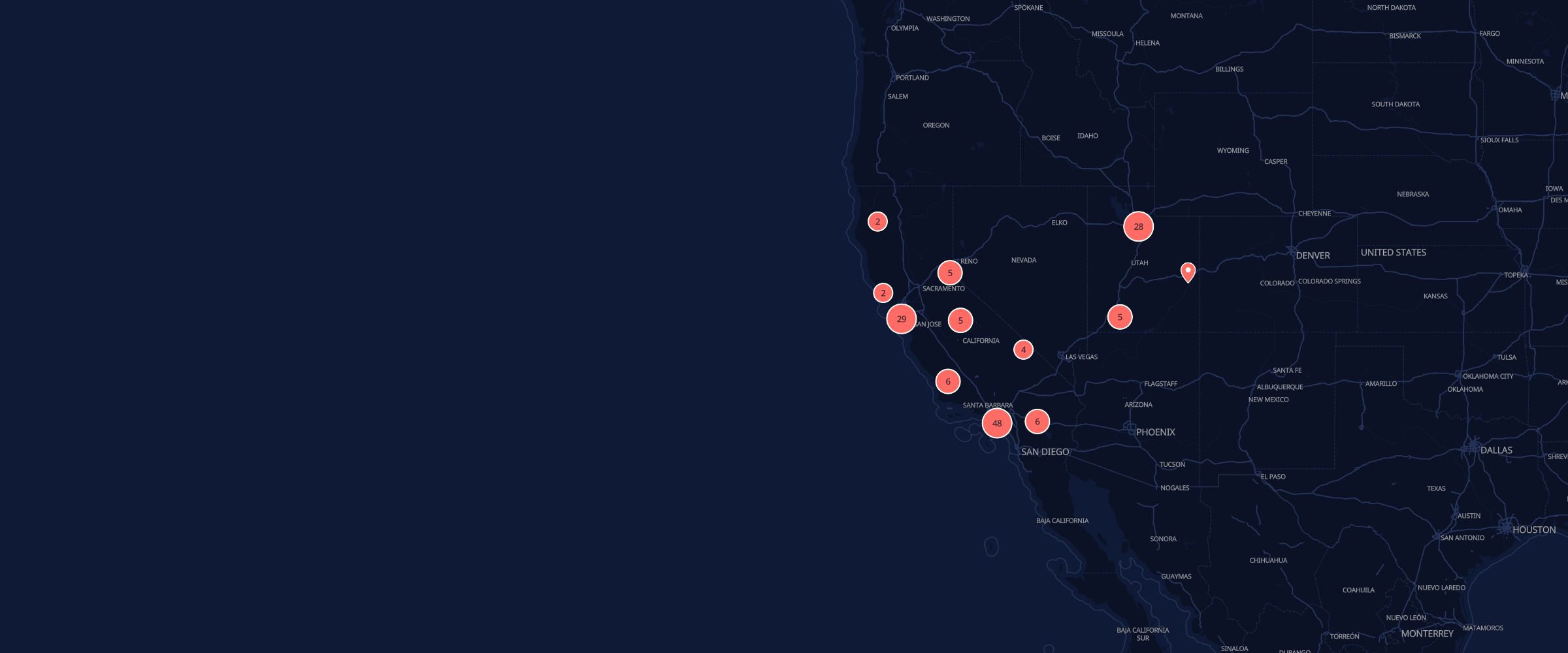
143 public places to watch the light from, each one researched and approved by a person before it went in.
Or start with California, Utah or Alaska.
Know one we’re missing? Suggest it.
Times to the minute, real spots, and every sky you catch.
COMING SOON TOthe App StoreFree. No ads, no tracking. No likes, no followers.
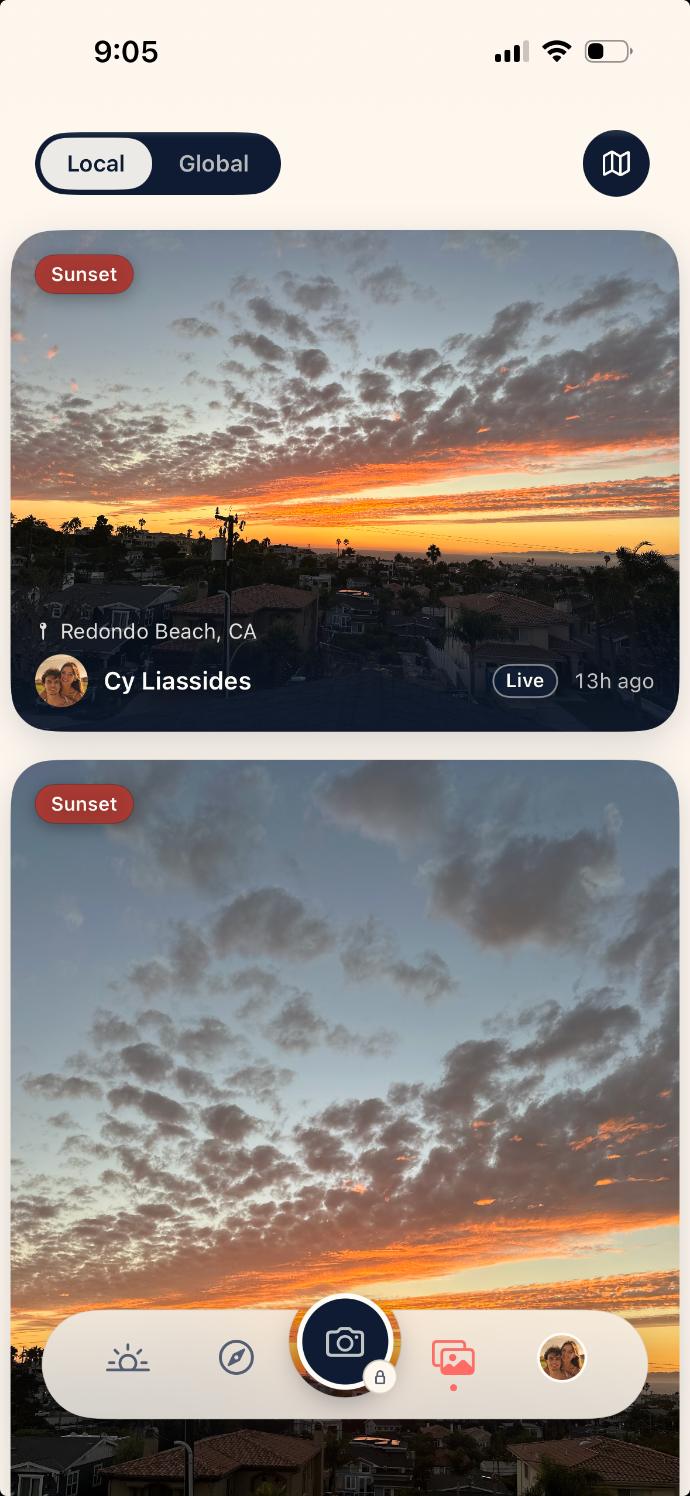
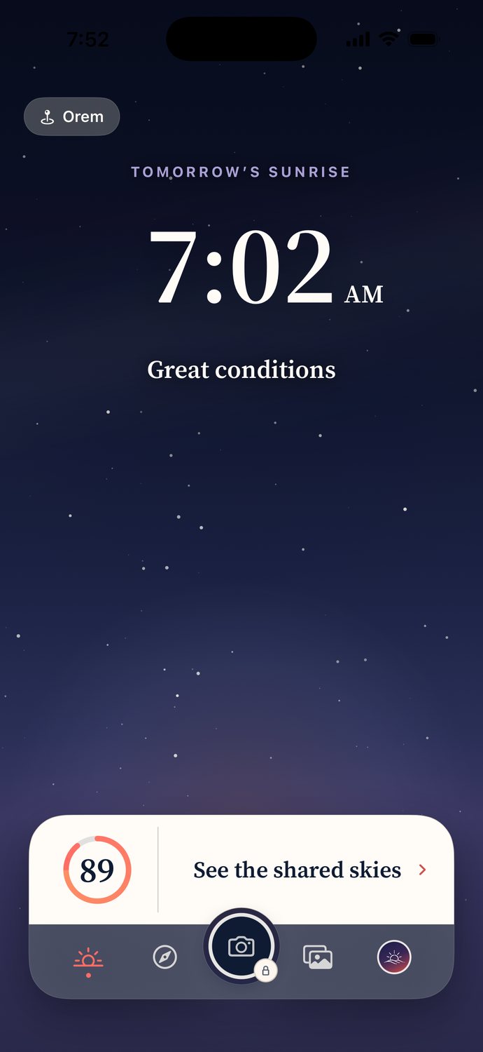
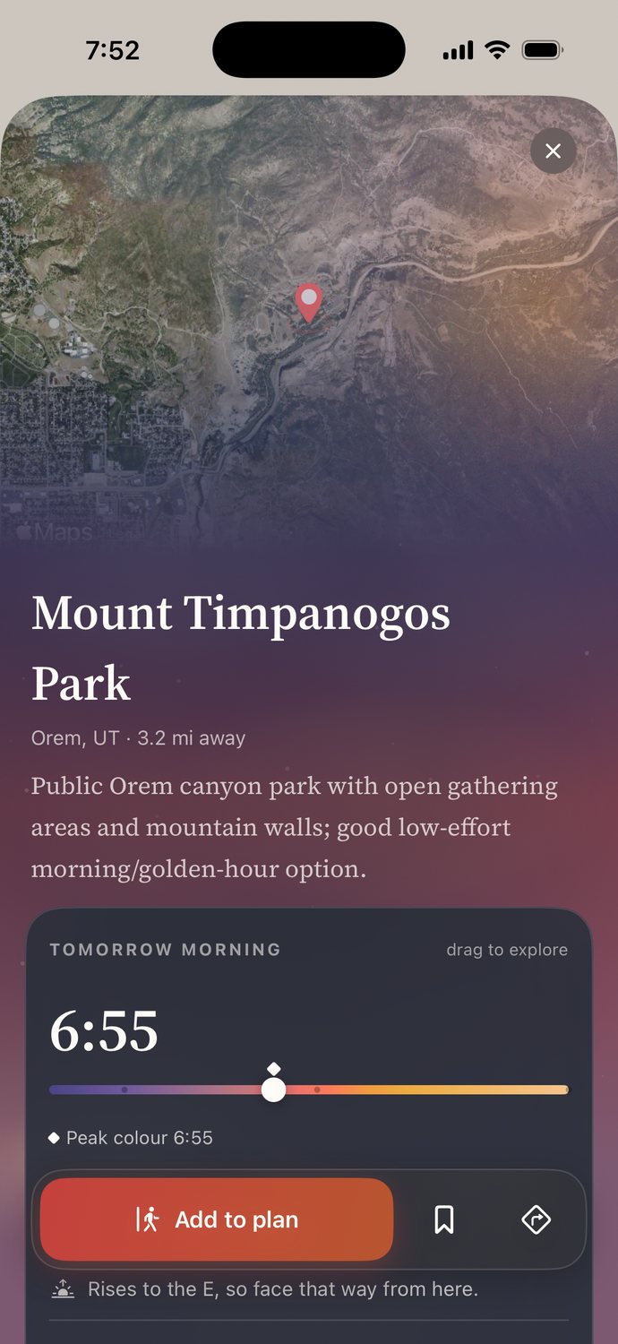
Skysta is free and it stays out of your way. This is the short version of how.
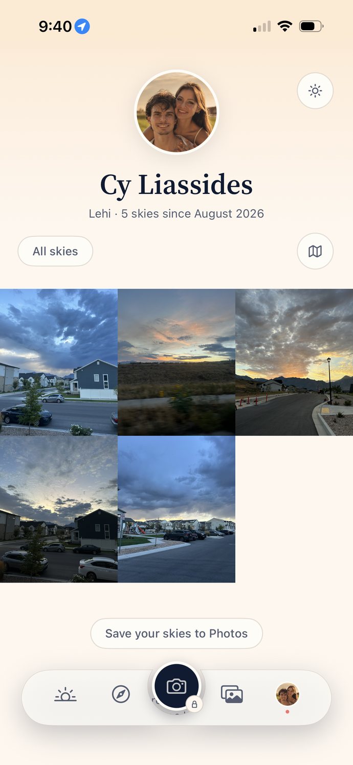
“Show on the map” starts off, and it’s a fresh choice on every photo. Leave it off and where you stood stays off the map. One tap turns it on, and then a pin drops exactly where you stood.
No ad libraries and no third-party trackers in the app, which is why it never asks for the tracking permission. Diagnostics are off the day you install it and stay off until you switch them on.
No likes, no followers, no streaks. Nobody can see how many skies you have shot. You share one sky each time the camera opens, so nobody scrolls past ten photos of the same sunset.
No cookies, no analytics, nothing counting you. The only thing this page sends anywhere is the place you ask about, rounded to a few kilometres, to fetch its forecast. It isn’t kept.
The whole map of what goes where is in the privacy policy. It’s in plain English on purpose.
The five we get most, answered in the same plain English as the rest of the page.
Yes. Free, with no ads and no tracking. It will be on the App Store in the United States first.
It reads the hourly forecast at the minute the colour peaks, a couple of degrees of sun below the horizon. It looks at the cloud overhead and how high it sits, the cloud along the light’s path in from beyond the horizon, haze, humidity, rain, and whether a storm is clearing. Then it gives one number from 0 to 100 and says what it saw. It never guesses past the forecast.
Same model, and that part is checked: the app and this page are run against the same fixed set of skies so they cannot drift apart. What differs is the weather they read. The app works it out on your phone for the exact spot you stand on, using Apple’s cloud forecast, which says how high the cloud sits. Apple’s web service doesn’t publish that, so this page reads the cloud layers from Open-Meteo instead, for the place you picked rounded to a few kilometres.
Most evenings the two land close. When the two forecasts disagree about cloud, they can land a long way apart: on 14 September 2026 the app said 32 and this page said 6 for the same sunset. Neither is wrong on purpose. They are two forecasts of an evening that hasn’t happened yet. If you have the app, trust the app: it can see the cloud’s height, and this page can’t.
We research them ourselves, from maps, satellite pictures and the official park, city or land pages for the ground they sit on. Then a person checks the pin against the map, checks the place is open to the public, and approves it one fact at a time before it goes in, here and in the app. That work happens at a desk, not on the ground, and nobody from Skysta drives out to a spot. Anything that looks closed, private or too hard to get to is turned down rather than going in with a warning on it. The list grows one approved place at a time. You can suggest one from the website too, and a person reads every one.
No. No cookies, no analytics, no third-party scripts. When you check a sky, the place goes to our server and on to Apple Weather and Open-Meteo for the forecast, then it’s gone. If you share where you are, your position is rounded to a few kilometres first, and that rounded place is what goes to OpenStreetMap to find the name of the town. The whole list is in the privacy policy.
It’s free when it does, and to start you’ll only find it in the United States App Store.
 Skysta